- News
- World News
- South Asia News
- Nepal set to send new map to UN, others
Trending
This story is from August 2, 2020
Nepal set to send new map to UN, others
After having issued a new map showing Indian territory as part of Nepal, the K P Sharma Oli government is preparing to share the map with the “international community”, including the UN.

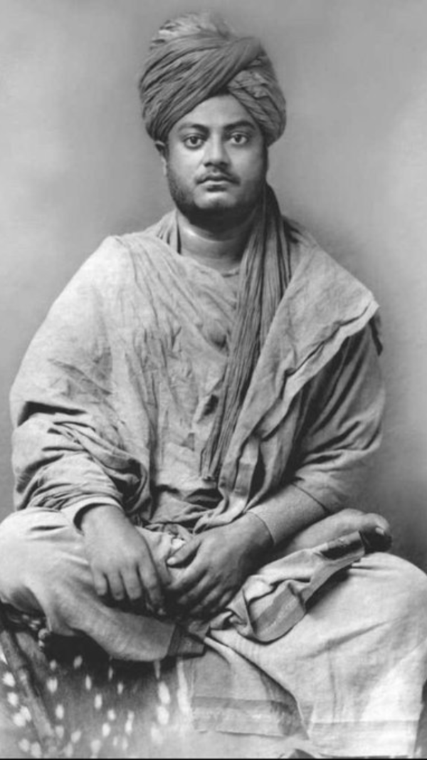
Nepal Prime Minister K P Sharma Oli. (File photo)
NEW DELHI: After having issued a new map showing Indian territory in Nepal, the K P Oli government is preparing to share the same with the "international community", including the UN.
The map, which was issued despite protests by India, was later legitimised unanimously by Nepal's Parliament by including it in the national emblem. The new Nepal map shows the Kalapani area along with Limpiyadhura and the strategically located Lipulekh Pass in Uttarakhand as belonging to Nepal.
Sending the map to UN is unlikely to help Nepal's cause though as the organisation generally keeps off such territorial claims in the form of maps presented by countries. In fact, it did the same with the new political map of India which was sent by the Indian mission in Vienna late last year to the UN office there and also United Nations Industrial Development Organization.
India had earlier said that artificial enlargement of Nepal's claim was not based on historical fact or evidence and that it wasn't tenable. India also sees Nepal's unilateral action as violative of the understanding to hold talks on outstanding boundary issues.
According to a report in My Republica, information officer for the Department of Measurement, Damodar Dhakal, said that they had already proceeded to print 4,000 copies of the updated version of Nepal’s map in the English language to be delivered to the international communities.
“A sub-committee has been formed under the coordination of the deputy director of the department. The revised version of the map will be available in the English language,” Dhakal said.
"The department has already printed 25,000 copies of the latest version of the map to be distributed within the country. Local units, provincial and all other public offices will be delivered the copies free of cost while the public can buy it at Rs 50," said the report.
The map, which was issued despite protests by India, was later legitimised unanimously by Nepal's Parliament by including it in the national emblem. The new Nepal map shows the Kalapani area along with Limpiyadhura and the strategically located Lipulekh Pass in Uttarakhand as belonging to Nepal.
Sending the map to UN is unlikely to help Nepal's cause though as the organisation generally keeps off such territorial claims in the form of maps presented by countries. In fact, it did the same with the new political map of India which was sent by the Indian mission in Vienna late last year to the UN office there and also United Nations Industrial Development Organization.
India had earlier said that artificial enlargement of Nepal's claim was not based on historical fact or evidence and that it wasn't tenable. India also sees Nepal's unilateral action as violative of the understanding to hold talks on outstanding boundary issues.
The Oli government though, while still open to dialogue, has shown little regard for India's sensitivities, according to official sources. Nepal's land management minister Padma Aryal was quoted as saying Saturday by Nepatl media that Nepal will translate the map text into English and "deliver" it to the international community later this month.
According to a report in My Republica, information officer for the Department of Measurement, Damodar Dhakal, said that they had already proceeded to print 4,000 copies of the updated version of Nepal’s map in the English language to be delivered to the international communities.
“A sub-committee has been formed under the coordination of the deputy director of the department. The revised version of the map will be available in the English language,” Dhakal said.
"The department has already printed 25,000 copies of the latest version of the map to be distributed within the country. Local units, provincial and all other public offices will be delivered the copies free of cost while the public can buy it at Rs 50," said the report.
End of Article
FOLLOW US ON SOCIAL MEDIA


Hot Picks
TOP TRENDING
Trending Stories
In World
Entire Website
- 'Repeal CAA, stop NRC': Key promises in TMC's poll manifesto
- Dubai rains: Emirates suspends check-ins today; all airlines impacted
- 'Bholi si surat': Rohit laughs at 20-year-old self
- India's T20 WC Squad: Newcomers unlikely but...
- How Australia is planning to tackle 'coercive' China
- Iran-Israel conflict: Are we on brink of World War III?
- 'What does he mean?': Priyanka on PM's 'don't be scared' remark
- 'Gussa nahi gussa nahi': Pant calms down furious Kuldeep
- Ghulam Nabi Azad will not contest from J-K's Anantnag
- Hamas says Iran attack on Israel 'legitimate and deserved'
- Ahead of Elon Musk’s visit to India, Centre notifies new FDI limit in space sector
- Nestle's Cerelac contains sugar in India, not in Europe
- Has Manipur dented BJP's Christian outreach in Kerala?
- 'Green' Apple: Company to invest in solar projects in India
- Groups clash in West Bengal district on Ram Navami; 18 injured
- IPL 2024: Uncapped Indians take centrestage
- Why BJP needs Bal Thackeray's legacy to win Maharashtra
- Google employees held post protests over Israel project; read firm's statement
- Pakistan killings: US won't get into remarks by PM Modi, Rajnath
- Woman wheels corpse into bank to sign for loan in Brazil

Popular Categories
Hot on the Web
Top Trends
Arvind Kejriwal NewsDubai WeatherWho is Aditya SrivastavaSurya TilakPunjab Board ResultRam Navami 2024Delhi Ahmedabad Bullet TrainIPL Live ScoreDry PromotionGT vs DC Live ScoreIPL Orange Cap 2024IPL Purple Cap 2024IPL 2024 ScheduleLok Sabha Election Full ScheduleIPL Points TableIPL Match Full Schedule
Trending Topics
Bade Miyan Chote Miyan CollectionSurya TilakDeepika PadukoneNora FatehiRam Temples In IndiaSalman KhanSamarth JurelRam Lalla OutfitAnushka SharmaKapil SharmaRanbir KapoorTamannaah BhatiaHimachal Day 2024Sara Ali KhanKiara AdvaniNita AmbaniBest Headphones with MicBest LED Face MasksBest Baby Stroller For KidsBest Inverters For Homes
Living and entertainment
Latest News
EU weighs response to Russian 'interference' in election runupHouse Republicans finally announce vote for $61 billion in Ukraine aidExclusive - Priyanka Chahar Choudhary on her relationship with Ankit Gupta; says 'The bond I share with Ankit is beautiful, Ghar se alag Ek rishta Mera bana hai..'3 Russian missile barrage on Ukraine city, several killedRanveer and Kriti walk the ramp at ghatMeena has looted from sand mafia and minted money for five years: JaunapuriaMeena has looted from sand mafia and minted money for five years: Jaunapuria‘If BJP retains power at the Centre, there will be emergence of dictatorship in the country: Harish Chandra Meena‘If BJP retains power at the Centre, there will be emergence of dictatorship in the country: Harish Chandra MeenaFamilies displaced by Bisalpur dam awaiting rehabilitation for 25 yearsReeling under water crisis, women of village near Bisalpur dam to boycott polls20,000 rally in Georgia as MPs advance controversial 'foreign influence' lawVidya Balan squeezes Kartik Aaryan's cheeks after he tells her 'Kya lag rahi ho'; video goes viralPolitical barbs fly as Congress, BJP clash in Tonk-Sawai MadhopurBMC to look into reasons for misalignment between Gokhale, Barfiwala bridgesColumbia University president questioned on antisemitismSuu Kyi moved to house arrest due to heat: MilitaryMalabar Gold sees RS 51,000 crore annual sales
Copyright © 2024 Bennett, Coleman & Co. Ltd. All rights reserved. For reprint rights: Times Syndication Service